

Multispectral
Plant Health Maps
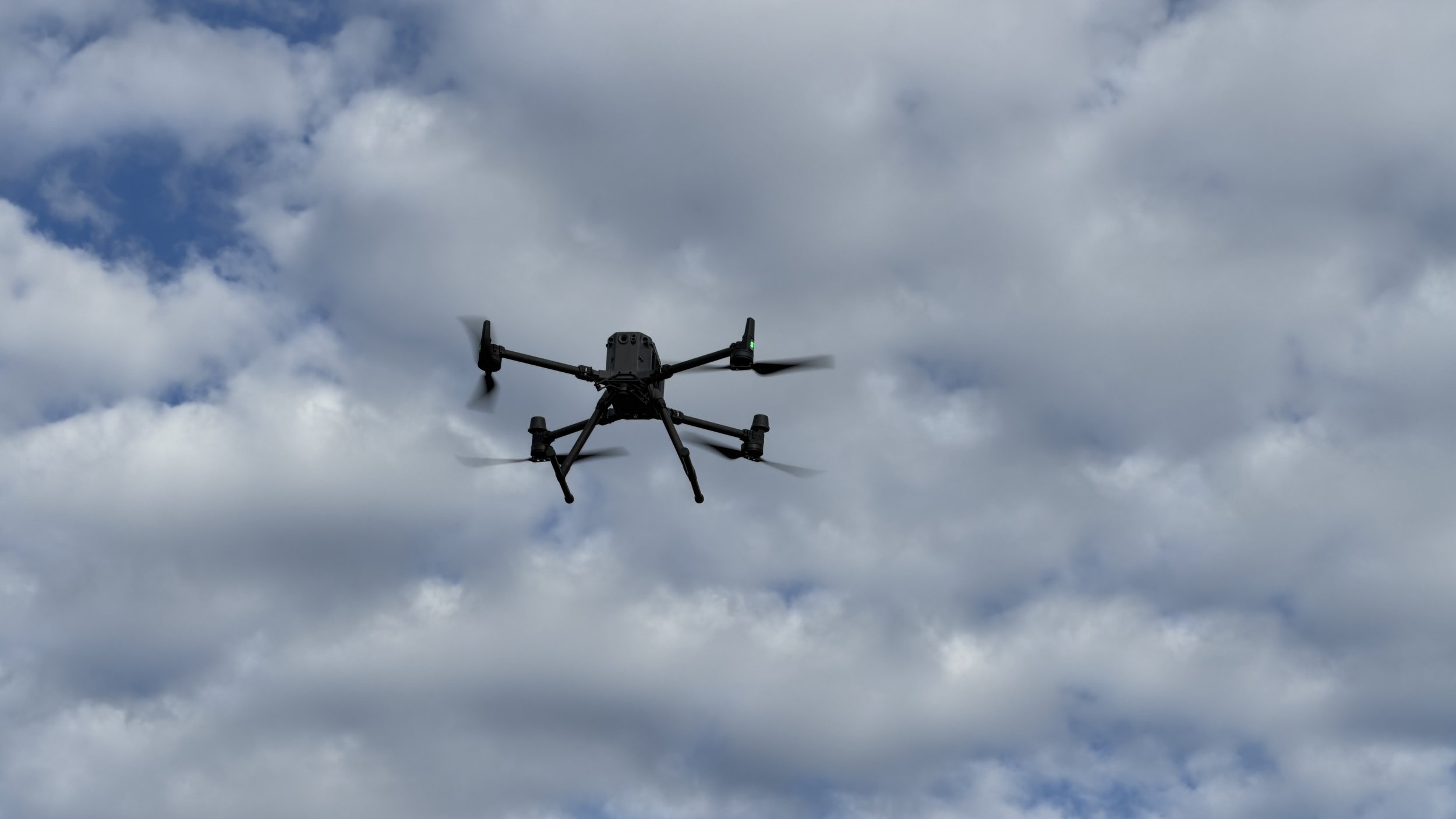
Using our industry leading Micasense Rededge multispectral camera we capture plant health maps using NDVI. This provides machine ready VRT maps to optimise fertiliser and other input applications.
Weed Mapping
Using multispectral imagery we can create Green-on-Brown weed maps for targeted spraying of weeds. These maps can be used in existing machinery and can significantly reduce the cost of summer knockdowns. This real time technology also assists farmers to implement best-practice integrated pest management approaches, including improved management of resistant populations.
Real time data
In the Great Southern every season is different, what was a high performing area of a paddock last year isn’t necessarily going to perform well this season. We know seasonal variation, particularly rainfall, and weather patterns impact performance, which is why getting real time data is so important to getting the most out of precision agriculture technology such as variable rate applications.
Machine Ready
By working with you we ensure the maps are machine ready for your specific setup. This ensures a hassle free experience once the product is delivered.
If you use a platform like John Deere Operations Center, FendtONE or CNH FieldOps we are able to upload the map directly into the machine for you through their sharing feature.
Processing
Fast Turn-around
By processing data locally straight off the drone, variable rate maps are delivered within 48 hrs meaning you can get on the paddock for fertilising or spraying when it counts.
Spray Drone Compatible
These variable rate maps are also ideal for spray drone operations and can be directly loaded into spray drones for highly efficient applications.
Elevation Mapping
Precision Elevation Maps
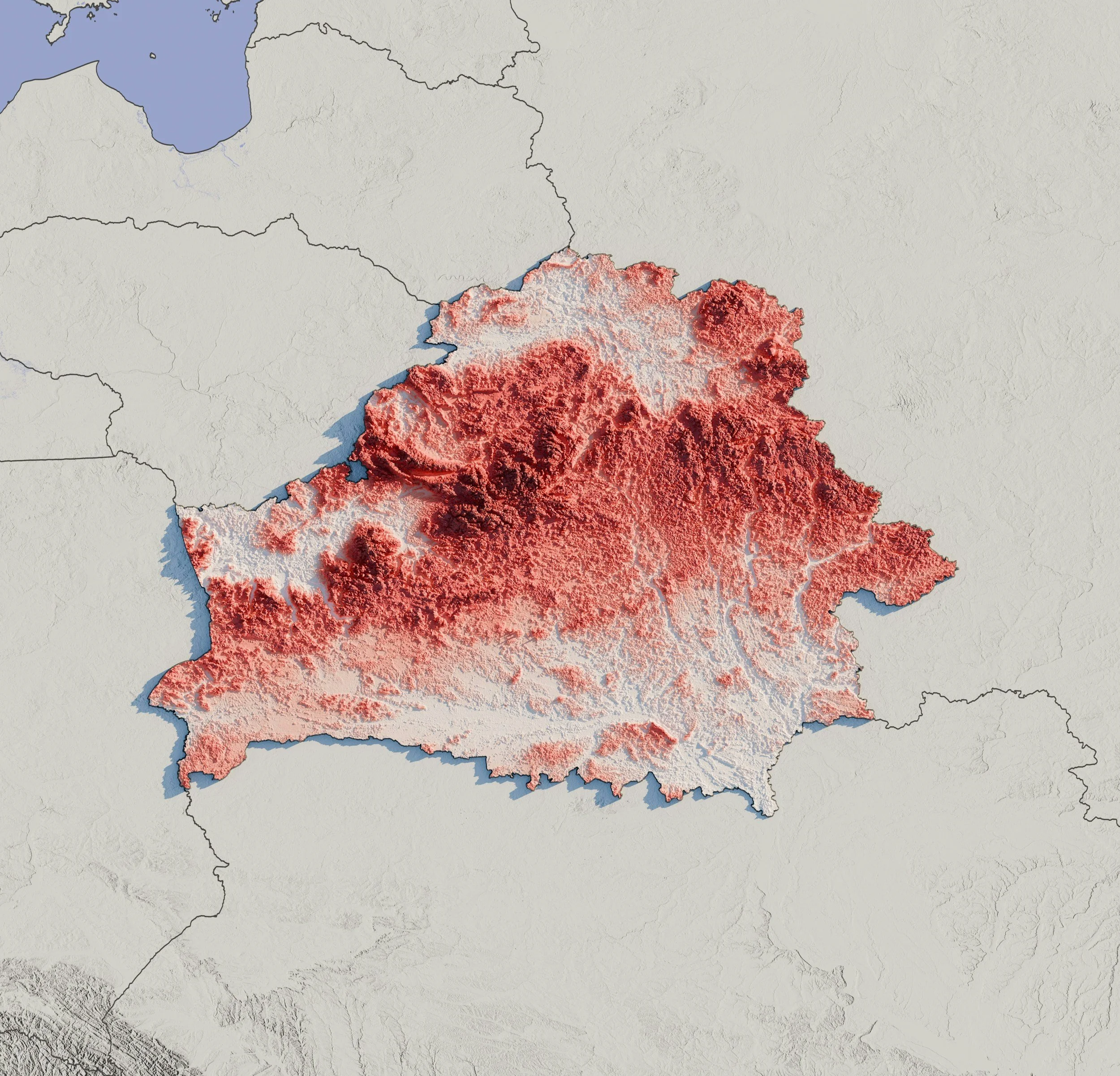
Using our survey grade L1 LiDAR camera and RTK drone we can create high precision elevation maps for drainage and landform planning.
The LiDAR system offers significant advantages over other methods as it can penetrate through vegetation and generates over 100 data points per square meter.
Digital Elevation Model
By combining high resolution visual imagery with LiDAR data we produce easy to interpret digital elevation models ready for drainage or land form planning.
Drainage Plan Ready
The final output file is available in standard .tiff, .las & .csv formats that can be interpreted by your drainage design software of choice.
High Resolution Farm Maps
High Resolution Mapping
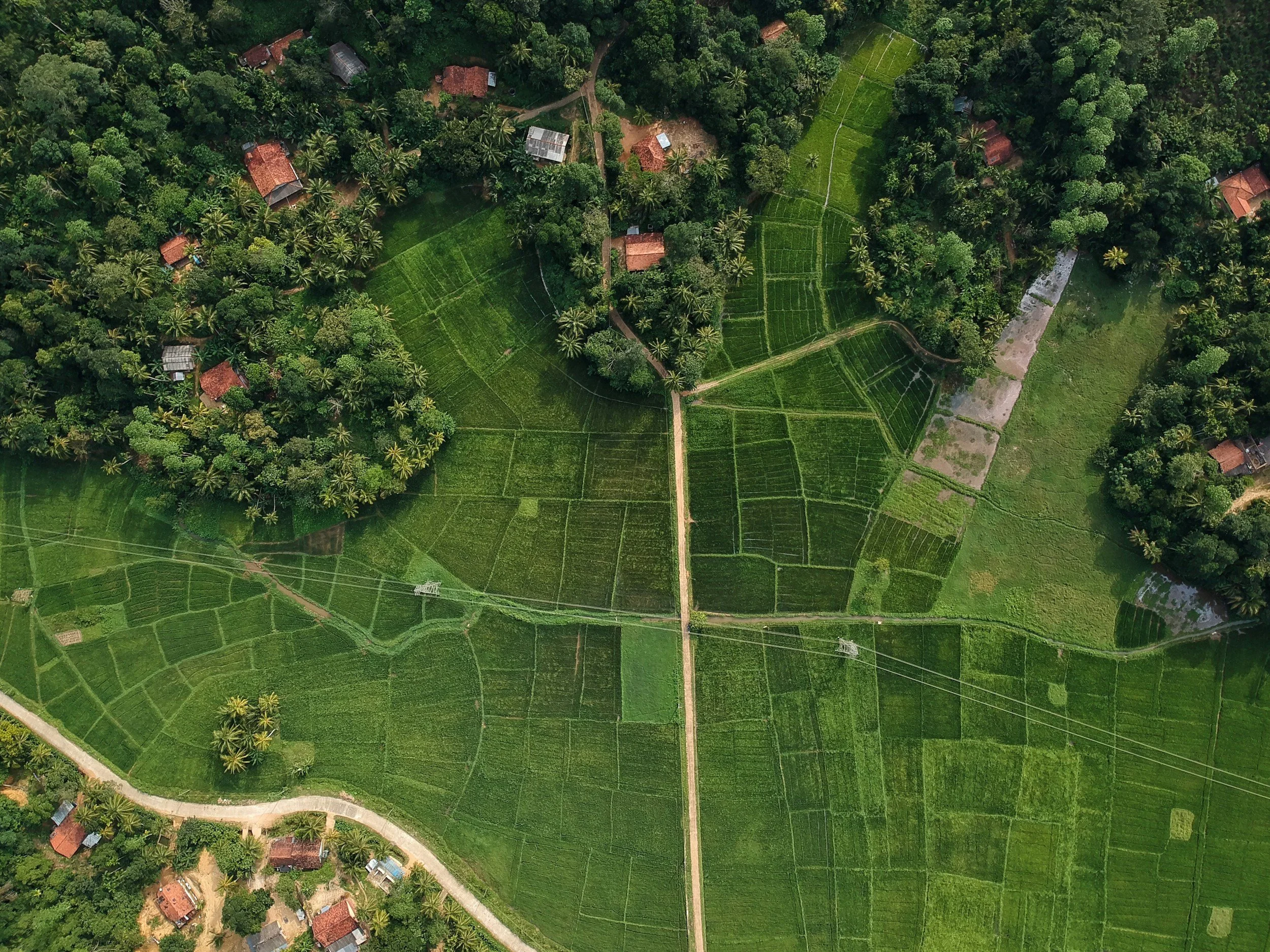
Using our high resolution camera and RTK enabled drone we capture numerous high resolution images of your property and assemble them into one accurate high resolution image with up to a 1cm/pixel resolution. This also allows us to undertake high precision area calculations for paddock or resource management.
Print Ready
The high resolution image is ideal for printing on media such as canvas for displaying in the farm house or office. We can also arrange printing for you!
Other Services
Fire Maps
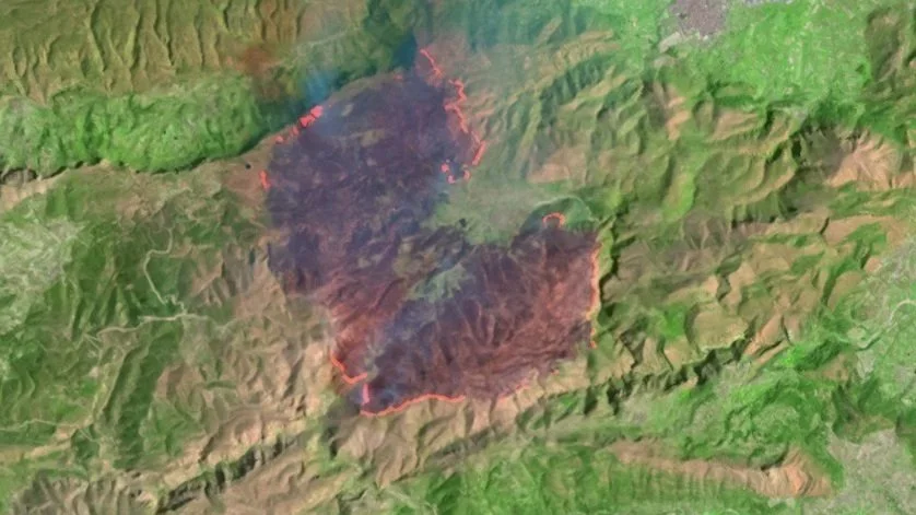
As part of the bush fire management in several shires, properties are asked to create a map of the property that includes water points, access tracks and gates, as well as areas inaccessible by fire truck. With your guidance these can be created using either satellite or drone imagery.
We can also provide drone imaging to assess fuel loads for fire risk management and controlled burn planning.
Environmental Imagery
We can provide aerial imagery for natural resource management or properties to assist with monitoring, planning or approvals.
*Note: we are not a qualified surveyor or planner and can only provide the imagery to assist these services in their processes.
CASA Qualified & Registered
Sam has been flying drones for >9yrs and has extensive knowledge and experience operating drones. Being fully qualified and operating under a Remote Operator Certificate he is able to deliver the data in a safe efficient manner.
Licenses Held: Remote Pilot License <25kg, Aeronautic Radio Operator Certificate & Remote Operator Certificate